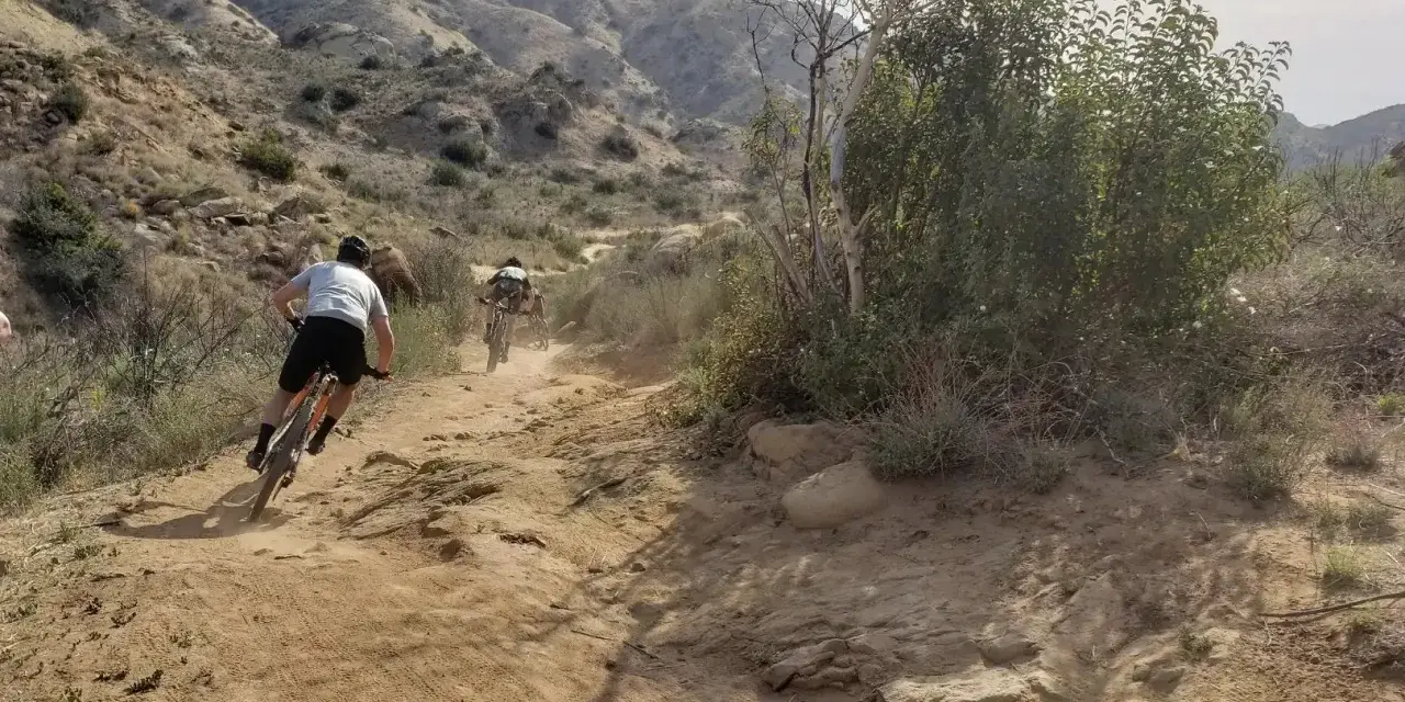
The smartest Los Angeles rides are the ones that match the day, not the ego
- Santa Monica Mountains give the most variety close to the city and are the easiest place to build a repeatable habit.
- Topanga State Park is fire-road heavy, which makes it a strong choice for steady climbing and cleaner navigation.
- Malibu Creek, Point Mugu, Upper Las Virgenes, and Towsley Canyon each offer a different version of LA riding, from coastal to valley-edge.
- Ken Burton Loop is the more serious Angeles Forest option for advanced riders who want a real climb-focused day.
- Heat, rain closures, and shared-trail etiquette matter as much as trail selection.
- Budget varies: some public land is free to enter, while other parks charge for parking or day use.
Where the riding is concentrated
I usually split the area into four riding zones. The Santa Monica Mountains give the most variety close to the city, the Malibu coast side gives the most scenic open-air riding, the western Valley edge is the most efficient place to fit in a workout, and the Angeles foothills are where the terrain starts asking more from you. That matters because 10 exposed miles can feel harder than 15 shaded miles if the climbing and temperature are stacked against you.
| Zone | What it feels like | Best for | Watch-outs |
|---|---|---|---|
| Santa Monica Mountains core | Fire roads, ridge views, canyon connectors, and a lot of route variety | First-time visitors, mixed-ability groups, steady fitness rides | Heat on exposed climbs, shared trails, and route choices that can get complicated fast |
| Malibu and the coast side | Longer climbs, ocean air, and open terrain that feels bigger than the mileage | Scenic rides, warm-day starts, riders who want a more memorable outdoor day | Parking fees, wilderness boundaries, and wind on exposed ridges |
| Western Valley edge | Rolling hills, canyon loops, and a more efficient trailhead-to-trail ratio | After-work rides, compact workouts, newer riders | Daylight-only areas, parking, and trail linking that needs a little planning |
| Angeles foothills | More remote, steeper, and less forgiving | Advanced riders, climbing-focused training, quieter days | Wilderness no-bike zones, route-finding, and longer bailout distances |
One budget upside is that access to the Santa Monica Mountains national recreation area itself is free, while other nearby parks often charge for parking or day use. Once the zone is clear, the trail choices get much easier to sort.
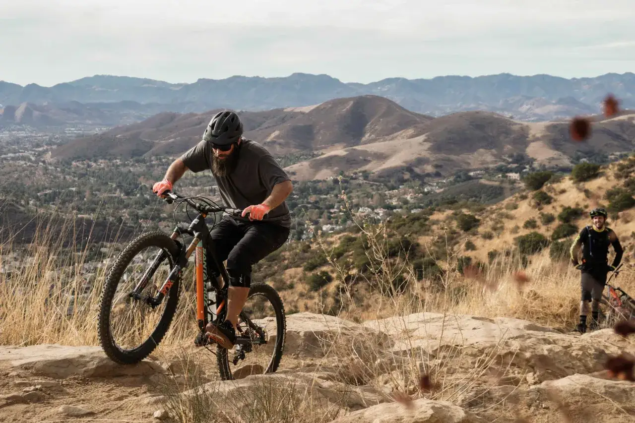
The trail systems I would put first on a Los Angeles riding list
If I had to narrow the whole region to a few anchor rides, I would start here. These are the places that explain why local riders keep coming back: a mix of wide fire roads, honest climbs, and enough scenery that the effort feels earned.
Topanga State Park and the Backbone Trail
Topanga is the cleanest introduction to the region because it gives you 36 miles of trails and makes one thing clear: bikes are on fire roads here, not on every path. That is not a drawback if you want a smoother read on the terrain. It lets you build rhythm, manage your effort, and spend less time worrying about line choice. The Backbone Trail is the bigger idea behind the whole area, stretching 67 miles with 43 miles open to mountain bikes, so it works best as a set of sections rather than a single, casual loop.
Malibu Creek State Park and Point Mugu
Malibu Creek is a stronger pick when I want a real outdoor day instead of just a training block. The park mixes scenery, history, and rideable terrain, which is useful when you want variety without getting lost in a maze of route choices. Point Mugu shifts the mood toward the coast: the riding is still physical, but the ocean air makes it a better bet on warm days. Just keep the boundary in mind, because the Boney Mountain State Wilderness area is off-limits to bikes.
Upper Las Virgenes Canyon and Ed Davis Park at Towsley Canyon
Upper Las Virgenes is one of the best western Valley escapes if you want rolling hills, daylight-only access, and a straightforward place to start from the Victory trailhead. The parking fee there is $5, which makes frequent riding easier to justify. Ed Davis Park at Towsley Canyon is smaller and quieter, with a $7 trailhead fee and a route character that feels like a proper workout rather than a sightseeing loop. I like both when I want to ride hard without turning the day into a long drive.
Read Also: Hardtail vs Softtail - Which Mountain Bike is Best for You?
Ken Burton Loop and the Angeles foothills
Ken Burton is the advanced ride on this list. The loop is 14 miles, it was built by mountain bikers for mountain bikers, and it earns its reputation through climbing and seriousness rather than gimmicks. The broader Angeles foothill network gives you a lot of room to explore, but it also demands better route planning because bicycles do not belong in wilderness areas. If you want LA to feel more remote and less polished, this is the direction to point the wheels.
After these anchor rides, the real difference comes from matching the route to the rider rather than chasing the most famous name.
How to choose the right ride for your skill level
I stop thinking about trail names and start thinking about risk management once the ride gets real. In this region, skill level is only one variable; heat, climbing, and the ease of bailing out matter just as much.
- Beginner or returning rider - Choose Upper Las Virgenes, a Topanga fire-road day, or an easy coastal outing where the trailhead is obvious and the loop is not too long. You want predictable surfaces, simple navigation, and a clean exit if the legs go quiet.
- Intermediate rider - Look at Backbone segments, Malibu Creek loops, or Cheeseboro/Palo Comado-style routes. These rides are demanding enough to feel earned, but they still let you manage pace instead of survive the day.
- Advanced rider - Ken Burton, steeper Backbone sections, and sharper canyon descents are the right place to push fitness and bike handling. If you like loose climbs, tighter turns, and a little uncertainty, that is where the region opens up.
I judge these rides by how they will feel at the end, not how impressive they sound at the start. If walking the bike back in the heat would ruin the day, shorten the route before you leave the car.
What to bring and how to stay safe on shared trails
The mistake I see most often is underestimating how quickly local conditions turn a decent ride into a bad one. LA trails are not exotic, but they are demanding in very ordinary ways: heat, loose dust, shared users, and the occasional stretch where cell service disappears.
- Carry at least 2 liters of water for short cool-weather rides and 3 liters or more for warm days or longer climbs.
- Wear a helmet, gloves, and eye protection. The dust and brush here make glasses more useful than many riders expect.
- Bring a pump, a tube or plug kit, a multitool, and a way to deal with a chain issue.
- Use sunscreen, and bring a light layer only if the route has a lot of shade or a long descent.
- Download the map offline and tell someone where you are going and when you expect to return.
On shared trails, the rule is simple: bikes yield to hikers and horses, and passing should be slow, clear, and controlled. Stay on established trails, do not cut switchbacks, and do not assume a muddy line is fair game just because your tires can roll through it. Poison oak, rattlesnakes, ticks, and bees are normal parts of the landscape, not rare surprises. If you ride an e-bike, keep in mind that it is only allowed where bicycles are allowed on federal land in the Santa Monica Mountains.
Once the kit is right, the next thing that changes a ride is the calendar, not the trail.
When to ride and why timing changes the trail
Timing is a bigger part of mountain biking here than it is in many places. Summers are hot and dry, winters are cooler and wetter, and the same trail can feel completely different depending on whether you roll out at sunrise or after lunch. I usually treat the morning as the default, especially on exposed climbs, because the heat load climbs faster than most riders plan for.
- Spring - Usually the best blend of grip, temperature, and trail variety.
- Summer - Start early, shorten the loop, and choose shaded or coastal terrain when you can.
- Fall - Often excellent, but fire weather and closures can change the plan quickly.
- Winter - Ride after dry spells, because some parks close bike access for a period after heavy rain.
That last point matters more than people think. In some state-park systems, singletrack remains closed for 48 hours after significant rain, and in the Santa Monica Mountains, trails may also close during or after major rainfall or wildland fire. The practical lesson is simple: if conditions look questionable, I change the route rather than forcing the one I had in mind.
With the timing set, planning the actual day becomes much easier.
A first-day plan that keeps the ride fun and the legs fresh
If I were setting up a first ride in the area, I would not chase the hardest route. I would choose a loop with easy parking, a clear turnaround point, and enough scenery that the day feels complete even if the legs are not fresh.
- Two-hour window - Upper Las Virgenes or Towsley Canyon gives you a compact workout without overcommitting.
- Half-day window - Topanga, a Backbone section, or Malibu Creek gives you a better balance of climbing and variety.
- All-day window - Ken Burton or a longer Angeles foothills ride only makes sense if you are comfortable pacing fuel, hydration, and navigation.
Access to the Santa Monica Mountains national recreation area itself is free, Malibu Creek's vehicle day use is $12 with $3 hourly parking, Point Mugu is $12 per car per day, and regional trailheads often sit in the $5 to $7 range. If I only had one weekend, I would start with Topanga or Upper Las Virgenes, build one clean loop there, and save Ken Burton for a cooler day with fresher legs. That sequence keeps the region fun instead of turning it into a checklist.